 |
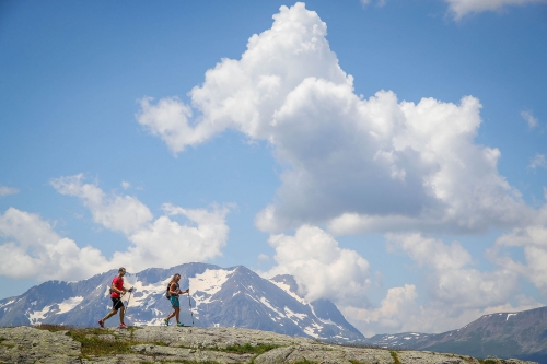
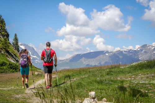
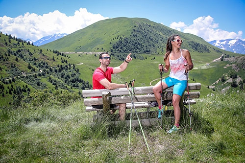
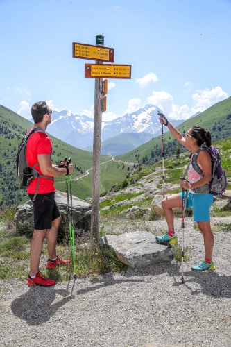
Alpe d’Huez is an ideal base camp for exploring exceptional panoramas, a dozen lakes, and prestigious peaks in the Massif des Grandes Rousses and the Écrins National Park. The resort offers 250 km of marked routes, including several easy family walks, accessible to all. |
The network of ski lifts allows you to vary the walks and hiking circuits. The mountain guides offer themed hikes for a better discovery of the site, the fauna, the flora, and the life of the mountain pastures. (Topo-guide on sale at Alpe d’Huez Tourisme.)
ALPE D’HUEZ GRAND DOMAINE – A few ideas for walks…
* easy | ** medium difficulty | *** difficult | **** very difficult
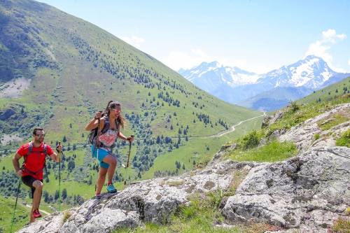
1. LAC BLANC PASS PROMENADE*
Departure: 2700 m – Arrival: 2800 m – Length: 2 km – Duration: 1 hour
Ascent to the Dôme des Petites Rousses on a 4×4 path.
View of the Fare and Milieu lakes and the Pic Blanc.
2. THE WEST FACE OF LES ROUSSES **
Departure: 2700 m – Arrival: 1860 m – Length: 6.7 km. – Duration: 2 hours
Walk along the mountain biking area, 2700 m to the station.
Discovery of the Alpine Garden and Lac Blanc.
3. VALLON DE LA FARE REFUGE ****
Departure: 2700 m – Arrival: 2043 m – Length: 4.5 km – Duration: 3h
View of the Milieu and Fare lakes, footpath descending to the Alpette.
4. LA COMBE CHARBONNIÈRE ***
Departure: 2700 m – Arrival: 1806 m – Length: 8.7 km – Duration: 2h30
Walk on a 4×4 path towards the Lac Blanc, the Clocher de Mâcle, the Combe Charbonnière, the Chemin de la Mine. Back to Shepherds (Bergers).
5. THE ROUND OF THE LAKES **
Departure: 2100 m – Arrival: 2100 m – Length: 9.5 km – Duration: 1h30
Round-trip walk towards Alpette, on a footpath passing by Besson Lake, Black Lake, Faucille Lake, Carrelet Lake.
6. THE MONFRAIS PLATEAU**
Departure: 2100 m – Arrival: 1250 m – Length: 6.5 km – Duration: 2h
Descent on a 4×4 path towards the plateau of Montfrais.
View of Lake Carrelet, La Villette, Vaujany. Return by cable car
7. LA COMBE DE POUTRAN **
Departure: 2100 m – Arrival: 1350 m – Length: 5.3 km – Duration: 1 hour
Descent to Oz station by a 4×4 path in the Combe de Poutran.
View of the Belledonne and Taillefer mountains, the Eau d’Olle and Romanche valleys.
Return by the Poutran gondola.
8.THE ALPAGES **
Departure: 1860 m – Arrival: 1775 m – Length: 11 km – Duration: 4 hours
Climb to Signal via a 4×4 path. View of the Belledonne and Taillefer mountains and the Romanche valley.
Then descend through the mountain pastures to the village of Villard-Reculas.
Return to Huez via the Villard road. Return to Alpe d’Huez by Huez Express.
9. THE ROMAN WAY*
Departure: 1860 m – Arrival: 1470 m – Length: 2.5 km – Duration: 30 minutes
Return to Alpe d’Huez by Huez Express.
10. COL DE SARENNE **
Departure: 1860 m – Arrival: 1775 m – Length: 13.5 km – Duration: 4 hours
From the Altiport, take a 4×4 path towards the Col de Sarenne, as far as the Pont de Sarenne. View of the Signal de l’Homme and the Col de Cluy. Then follow Pont du Gua, then walk in the undergrowth along the Sarenne to Huez Village. Return to Alpe d’Huez by Huez Express.
11. TOUR DU SIGNAL DE L’HOMME ***
Departure: 1470 m – Arrival: 1450 m – Length: 19 km – Duration: 5h
12. CROSSING THE BALME RAVINE **
Departure: 2110 m – Arrival: 1470 m – Duration: 2h
From the DMC 2100 m, crossing in the direction of Les Bergers and arrival at Bergerie du Poutat, Ravine de la Balme to arrive at Pierre Ronde and descent to Gua. Little airs of a botanical trail. Continue towards Huez. Return to Alpe d’Huez by Huez Express.
13. PANORAMIC PATH **
Departure: 1860 m – Arrival: 1450 m – Duration: 2 hours
TOPOGUIDES AND HIKING FORMULAS
The topo-guides of the hiking trails, published by Alpe d’Huez Tourisme and Oisans Accueil, offer a wide choice of walks throughout the Territory of Oisans specifying the duration, the difficulty, the starting points, the panoramic views. It is advisable to bring an IGN map.
On sale at the Bourg d’Oisans and Alpe d’Huez Tourist Offices 6 volumes, 1 volume: €6
 |
SECURITY RULES
|


